

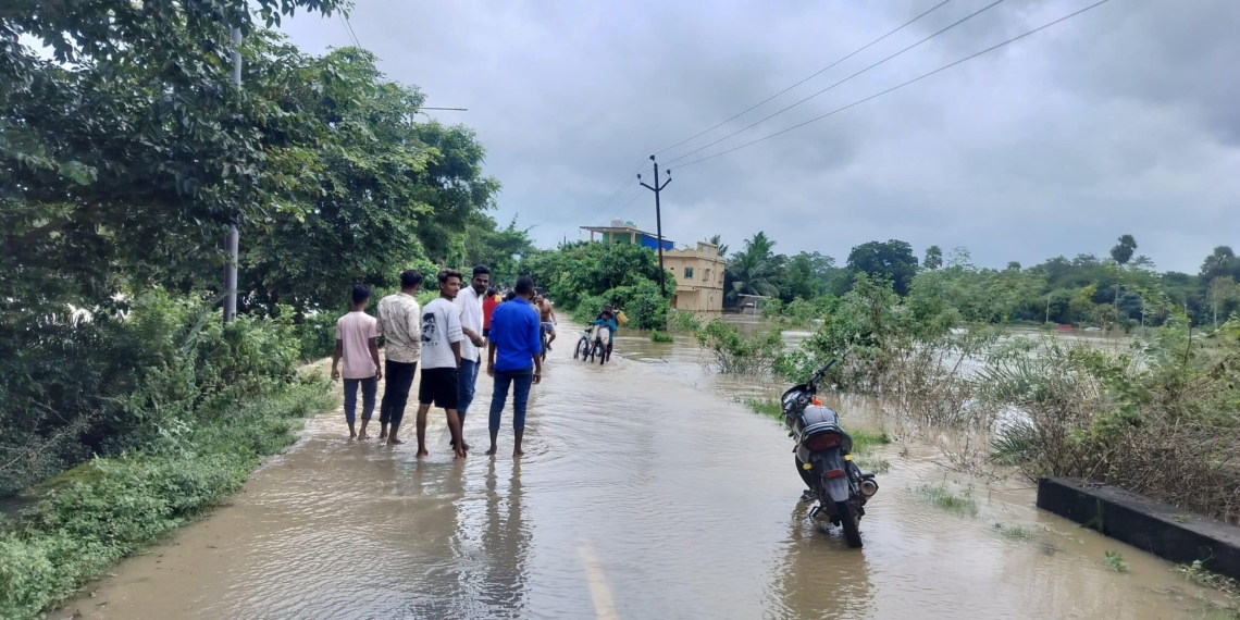
Koraput:25/9/26:ver the past 24 hours, intense precipitation has crippled life in undivided Koraput and adjacent districts, displacing thousands and causing major rivers to swell.
Massive Inundation and Record Rainfall
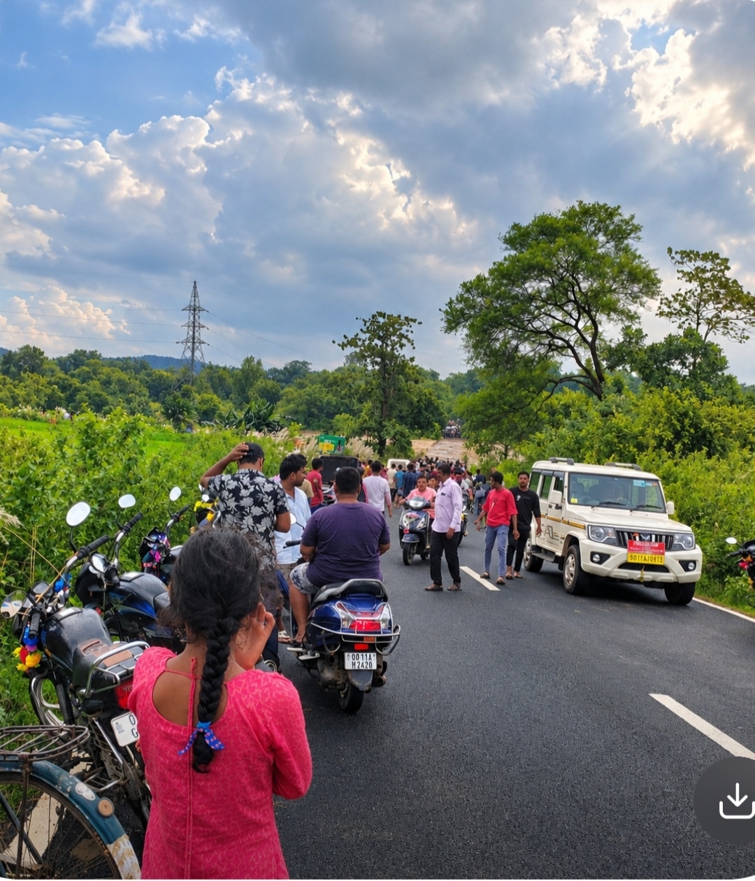
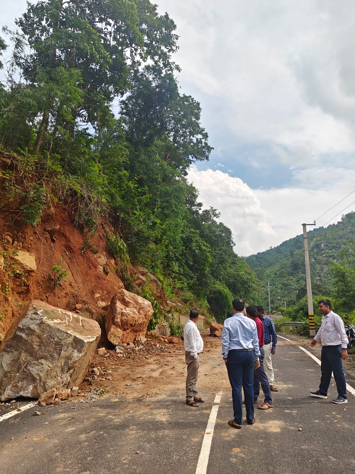
The severe weather system has affected 10 districts, 56 blocks, 272 gram panchayats, and 857 villages. According to official figures released by the Department of Revenue and Disaster Management:
- Tentulikhunti in Nabarangpur district recorded the highest rainfall in the state at 395 mm.
- Other heavily hit areas include Nandahandi (344 mm), Borigumma (307.8 mm), Kotpad (272 mm), Similiguda (267 mm), and Jeypore (258.2 mm).
- A total of 18,466 individuals have been directly impacted, with 14,479 people evacuated to safe shelters.
- Over 404 houses have suffered partial or complete damage, while six villages in Gajapati, Nabarangpur, and Malkangiri remain completely cut off from the mainland.

Relief Operations and Rescue Efforts
State authorities have mobilized immediate emergency measures. Disaster management units have opened 2,061 free relief kitchens, providing cooked meals to more than 14,000 affected residents. In addition, emergency relief materials and 433 polythene sheets have been distributed to those displaced.
To manage the situation, 34 rescue teams—comprising 33 ODRAF (Odisha Disaster Rapid Action Force) units and 1 NDRF (National Disaster Response Force) unit—have been deployed across vulnerable districts, including Ganjam, Koraput, Gajapati, Malkangiri, Rayagada, Kalahandi, and Balangir.

River Systems and Flood Watch
With continuous downpours in the catchment areas, water levels in major southern rivers have escalated rapidly:
- Indravati Dam: 5 sluice gates have been opened to discharge excess floodwater.
- Baitarani & Jalaka: The Baitarani River at Anandapur and Akhuapada, along with the Jalaka River at Mathani Road Bridge, have crossed their respective danger thresholds.
- Budhabalanga & Vamsadhara: Water levels at Govindpur (NH-5) and Kasinagar have hovered near or slightly above danger levels, though Vamsadhara is currently showing a receding trend.
- Mahanadi & Brahmani Basins: Authorities confirmed that river systems in the Mahanadi and Brahmani basins remain well below danger levels with no immediate threat of major flooding.
System Movement and Weather Forecast
According to the India Meteorological Department (IMD) and Regional Meteorological Centre, the deep depression has moved north-northwest at a speed of 13 km/h toward North Chhattisgarh. As of September 25 evening, the system was centered near Bilaspur and Champa.
It is expected to track across North Chhattisgarh and Northeast Madhya Pradesh toward Southeast Uttar Pradesh, gradually weakening into a well-marked low-pressure system over the next 12 hours. Continuous monitoring is being carried out via Doppler Weather Radars stationed at Sambalpur and Raipur.
While rain intensity in South Odisha is expected to subside over the next 24 hours, officials have issued warnings for northern districts including Sundargarh, Jharsuguda, and Baragada. State authorities and the Special Relief Commissioner (SRC) remain on high alert, advising residents in low-lying riparian areas to take necessary precautions.